High Desert Environment
The McCullough Peaks is located 12 to 27 miles east of Cody, Wyoming and encompasses 120,412 acres of land.
Its topography is highly variable and includes rolling foothills carved by drainages, colorful badlands, and desert mountains with steep slopes, cliffs and canyons. The climate is typical of a cold desert with annual precipitation averaging five to nine inches. Stock reservoirs and intermittent streams fed by winter snows and spring runoff provide adequate water for the Herd Management Area (HMA).
Flora
The best grazing is found south of the rugged peaks where the terrain turns into grass and sage covered prairie. The desert-looking salt sage flats offer saltbush which is highly nutritious. Trees are a scarcity - only a few cottonwoods and willows exist along the banks of the dry creek beds and the small man-made reservoirs.
In the springtime, color emerges when the Larkspur, Prickly Pear Cactus, Paintbrush, and Phlox come into bloom.
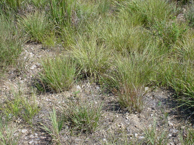
Bunch grass
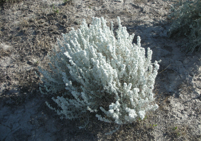
Winterfat
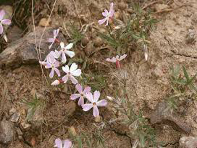
Desert Phlox
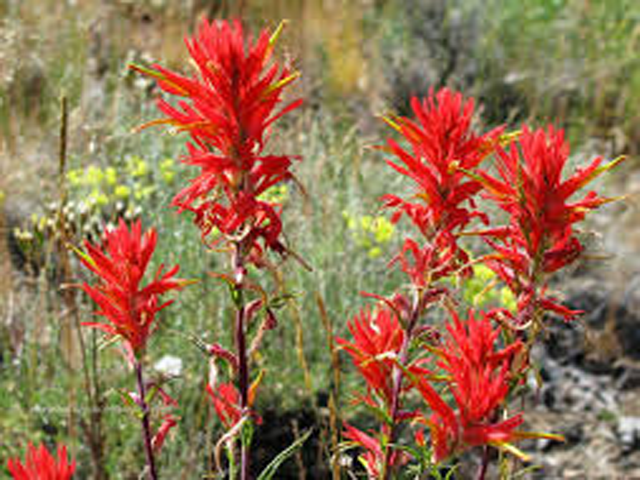
Indian Paintbrush
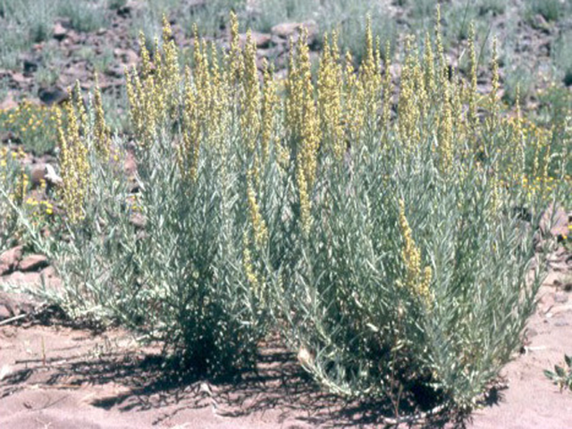
Sagebrush
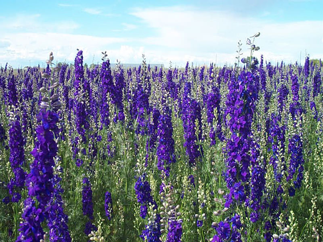
Larkspur
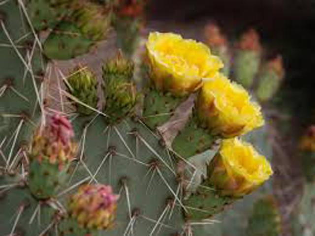
Prickly Pear
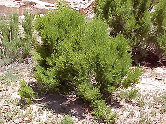
Greasewood
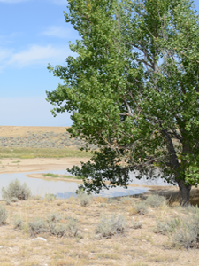
Cottonwood
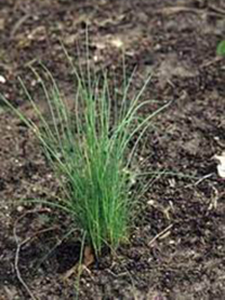
Wild Onion
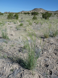
Needle and Thread
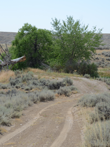
Willow
Fauna
Chipmunks, pack rats and birds such as the little rock wren, like to make their homes in the wind-swept holes of the sandstone formations. Pronghorn antelope, horny toads, coyote, horned owl, and northern sagebrush lizards also call the Peaks their home.
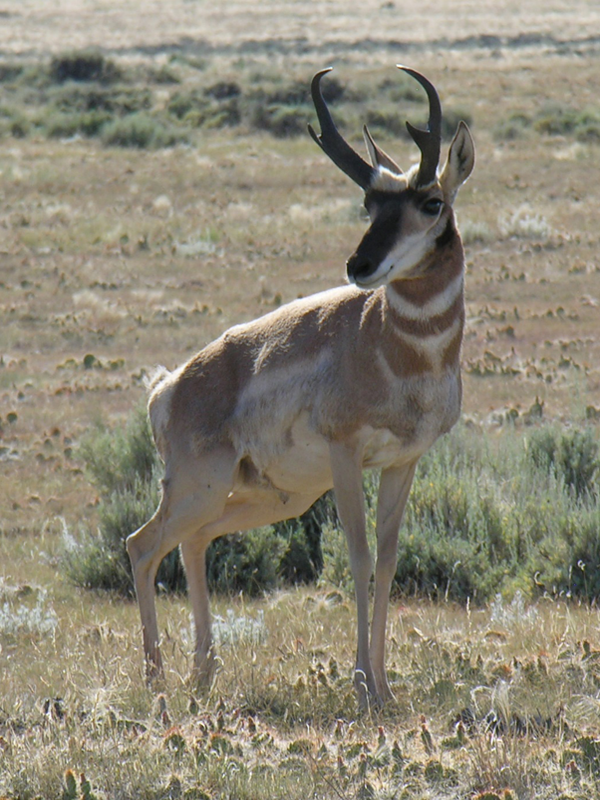
Pronghorn
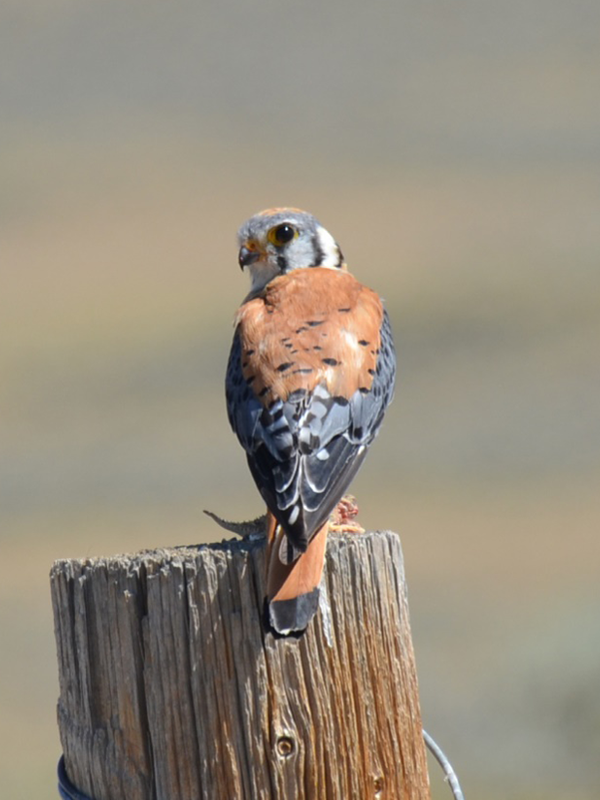
American Kestrel
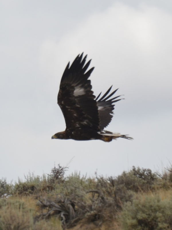
Golden Eagle
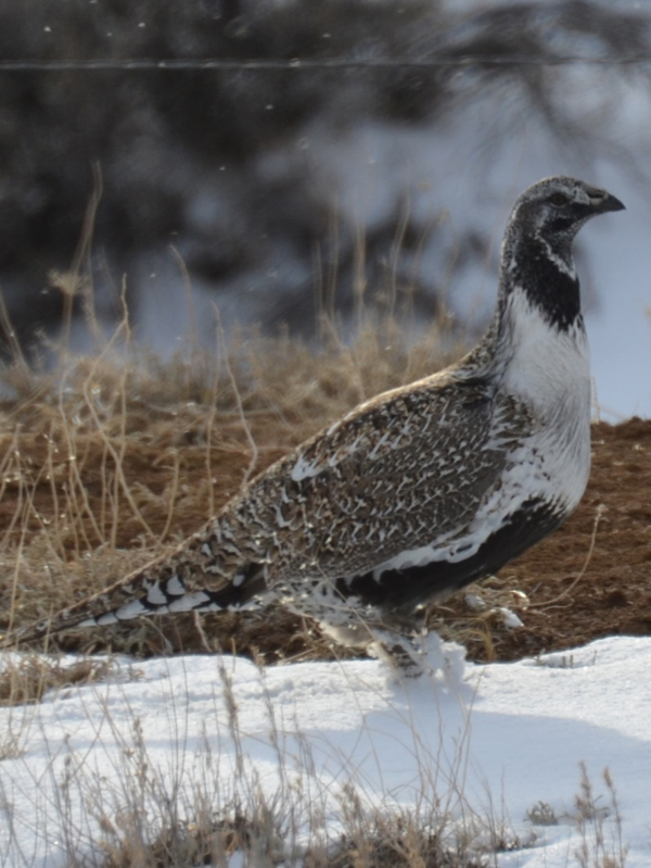
Sage Grouse
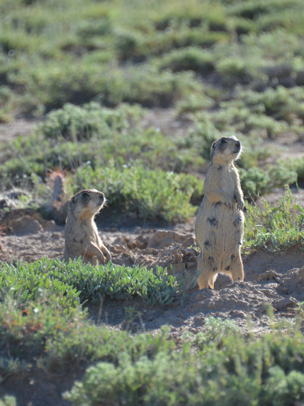
Prairie Dog
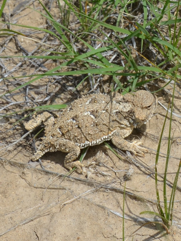
Horned Toad
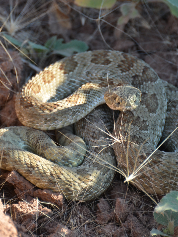
Rattlesnake
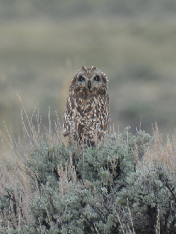
Short-eared Owl
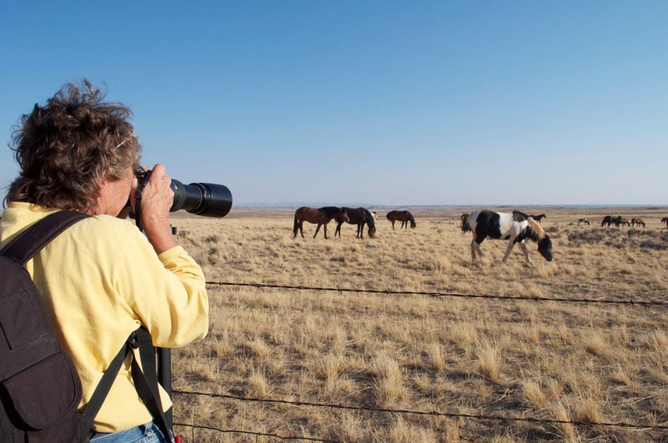
Where to see the Mustangs
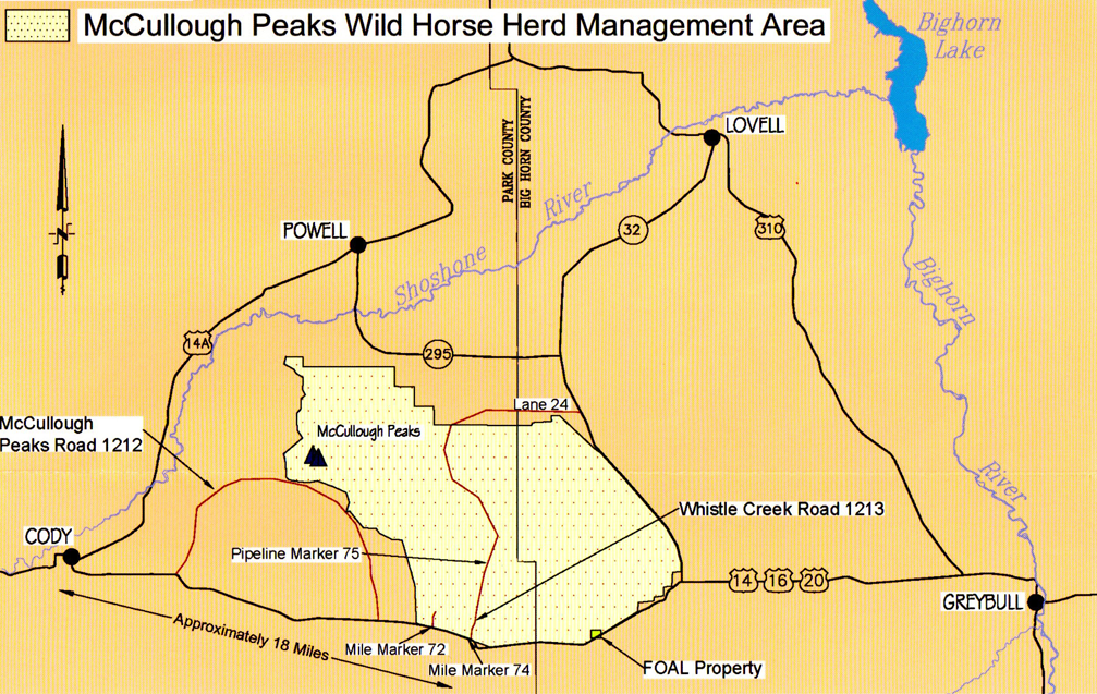
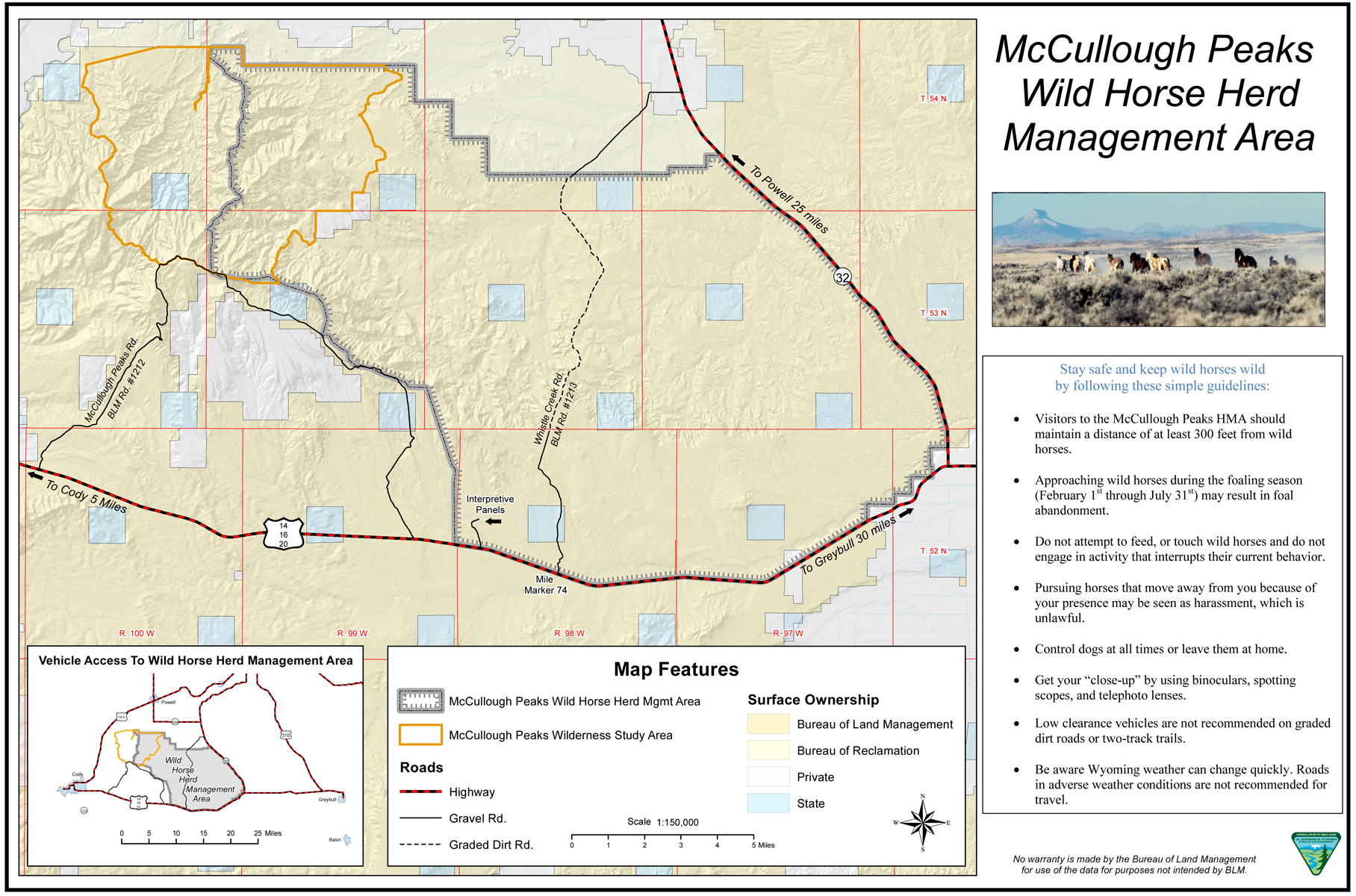
From Cody, go east on Hwy 14-16-20 to mile marker 72 (about 18 miles). On the left you will see a gate. Often the horses are in this area. You can enter if you choose. If not, continue to near mile marker 74 where you will see a kiosk and the Whistle Creek road sign on your left. Enter and proceed to pipeline marker “75” (about 6 miles).
Enjoy the remarkable panoramic view of the badlands. Turn around at that point and return to the highway. Be sure to bring your binoculars! Look on both sides of the road for mustangs and antelope.
Enjoy the mustangs, but consider the following preservation and protection measures when visiting the Peaks:
Click Map to Enlarge and Review Guidelines
